The Five Ecological Biomes
Tsavo is not a uniform expanse of scrubland; it is a dramatic convergence of five distinct biogeographical provinces ranging from alpine volcanic cloud forests in the Chyulu range to ancient riverine palm galleries along the Galana.
Chyulu Hills Volcanic Range
Rising to 2,188 meters, the green cinder cones of the Chyulu Hills form a dramatic western boundary. Being geologically youthful (under 500 years old), no rivers flow down its slopes; instead, torrential cloud mist and rain sink directly through the porous volcanic ash, recharging the colossal subterranean aquifer beneath Tsavo West.
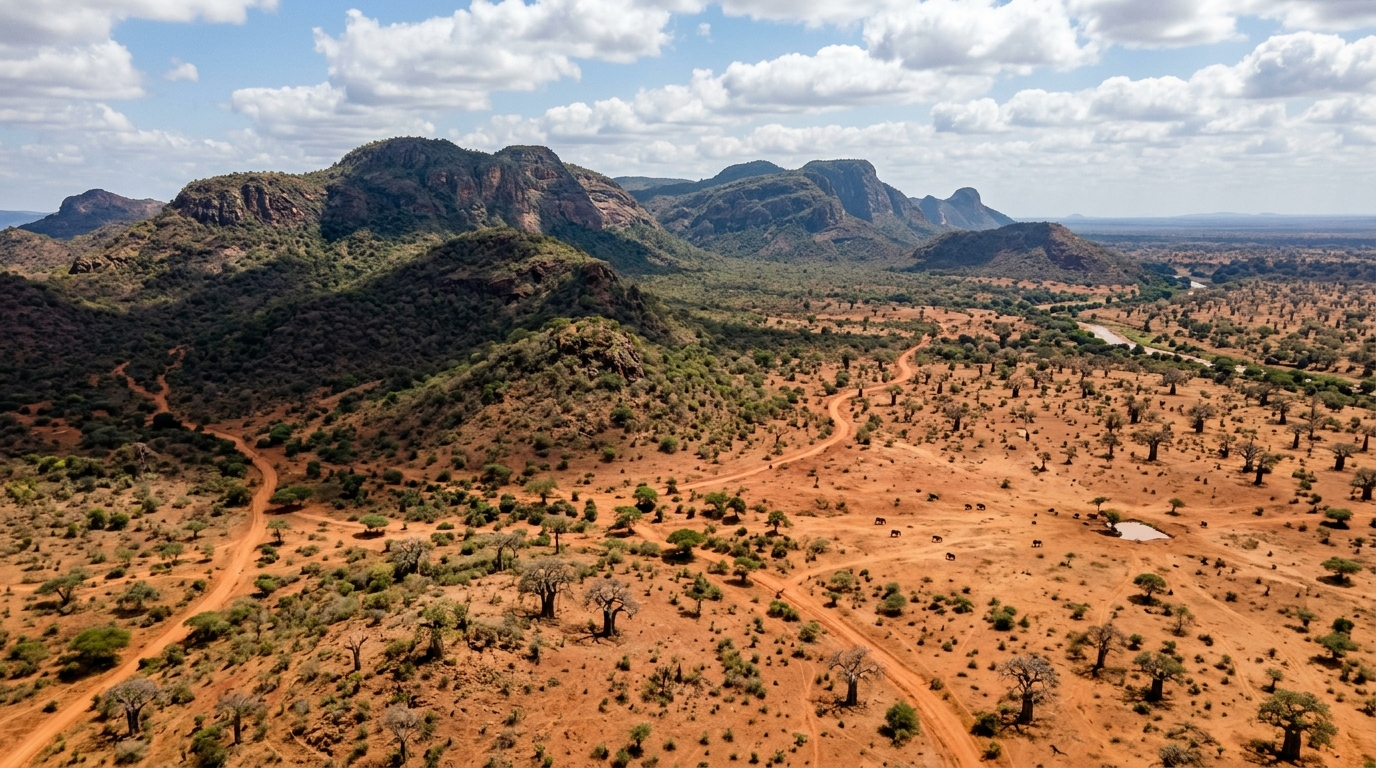
Mzima Springs & Wetland Aquifer
A series of crystal-clear natural springs discharging over 50 million gallons of pure water every day into Tsavo West. Filtered through miles of volcanic rock, the gin-clear water supports dense date palm and raffia groves, home to vibrant pods of hippos, giant Nile crocodiles, and hundreds of bird species.
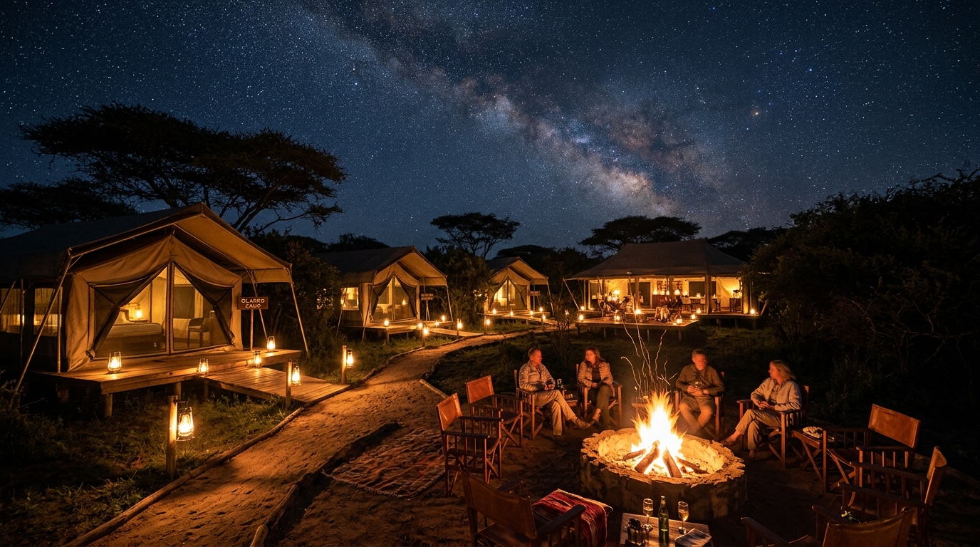
The Yatta Plateau & Commiphora Bushland
Stretching nearly 300 kilometers, the Yatta Plateau is the world’s longest lava flow, formed by Ol Doinyo Sabuk outpourings millions of years ago. Covered in dense commiphora-acacia thorn scrub, this elevated ridge serves as a vital refuge for elusive dry-country ungulates like the lesser kudu, gerenuk, and fringe-eared oryx.
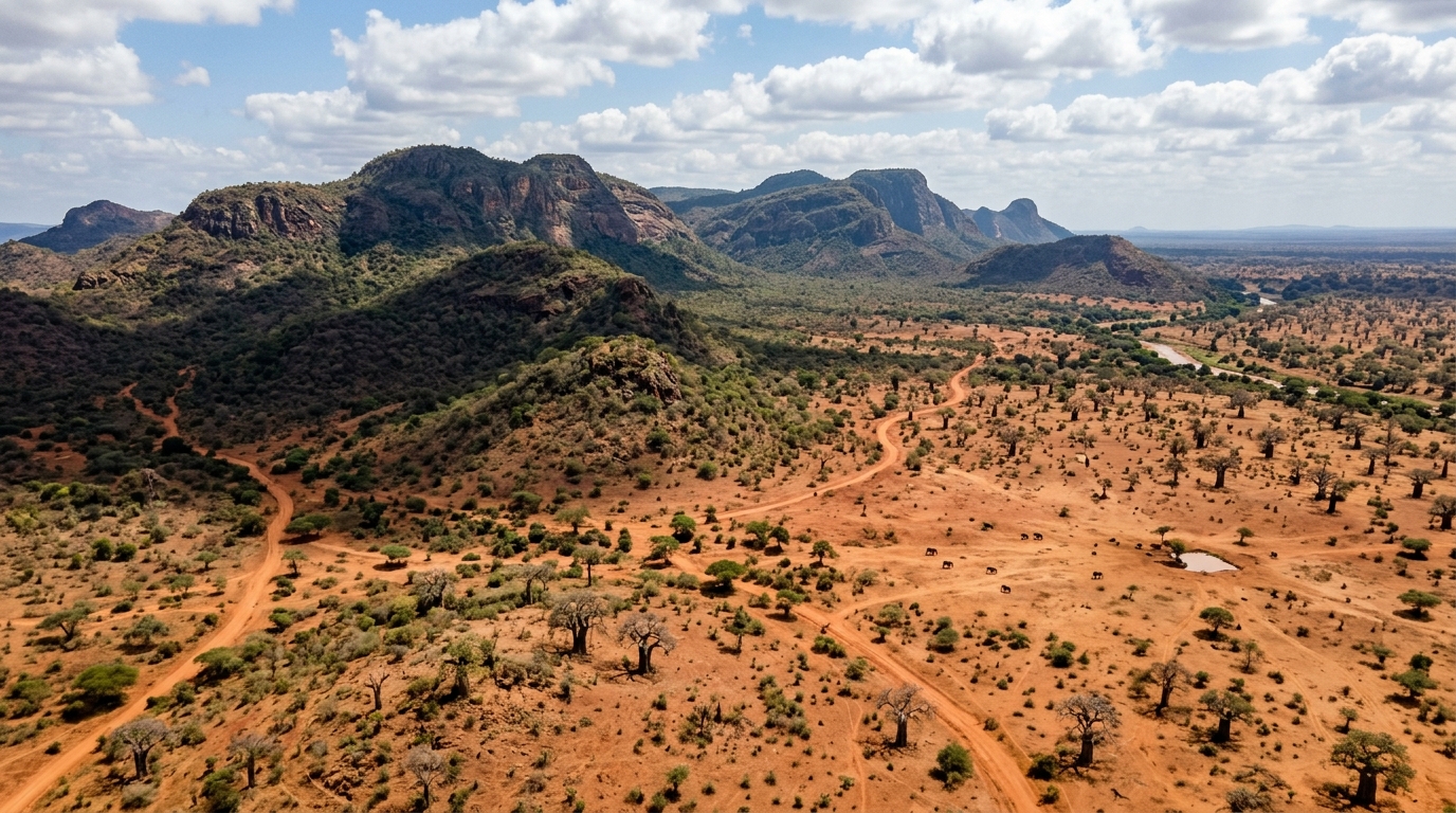
The Red Soil Savannas of Tsavo East
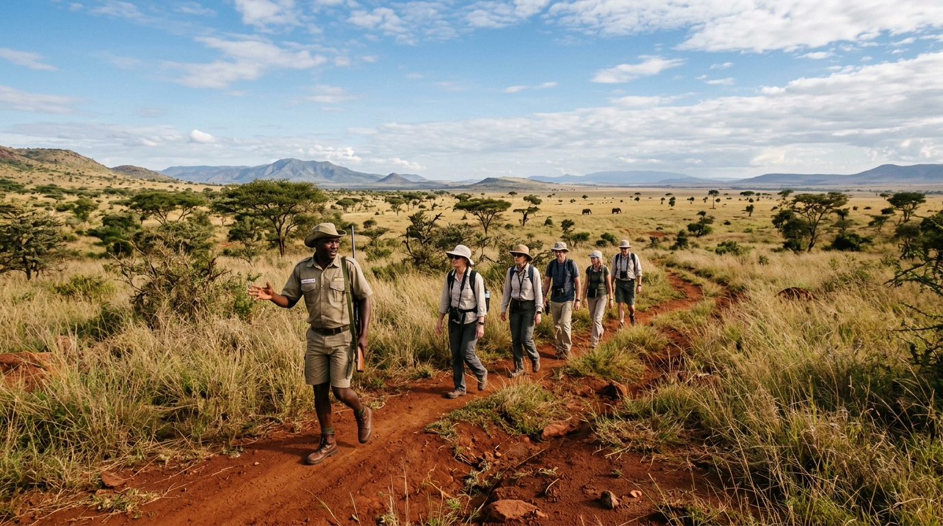
The quintessential image of untamed East Africa: flat, boundless horizons carpeted in rich iron-oxide red laterite earth, punctuated by ancient giant baobabs. Here, massive herds of elephants dust-bathe in the red loam, turning a striking crimson hue that shields them from solar radiation and biting flies.
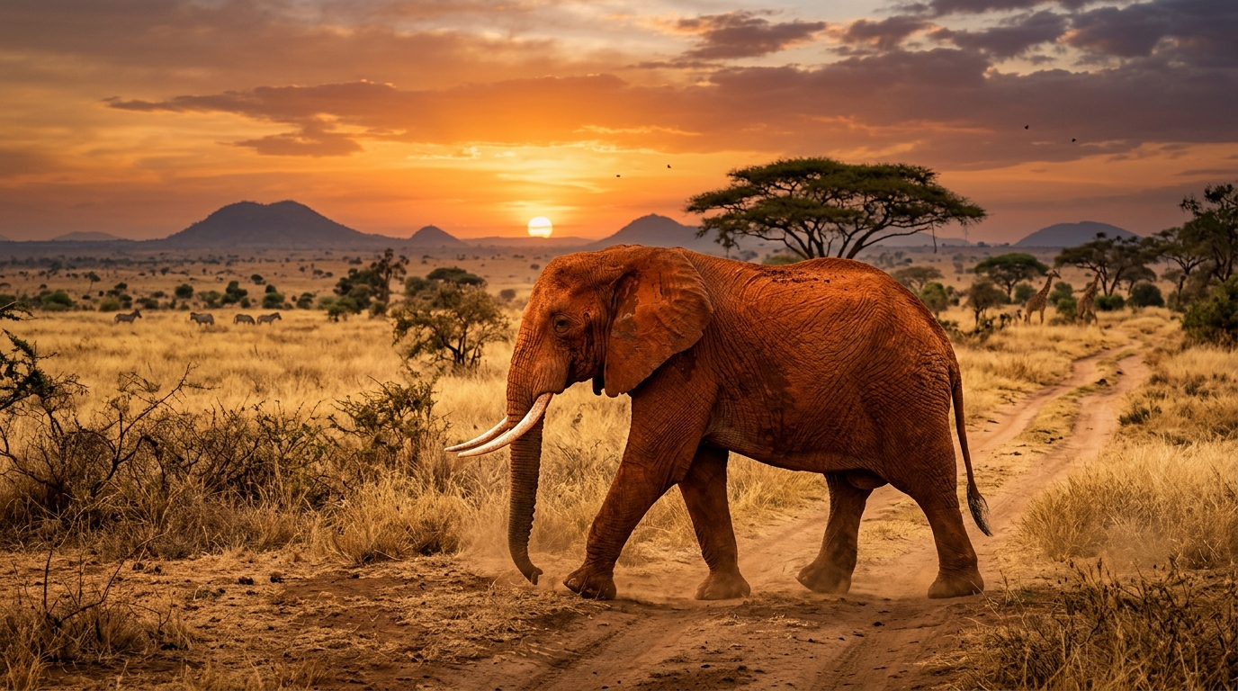
Galana-Athi Riparian Corridor
Cutting directly across Tsavo East towards the Indian Ocean, the Athi-Galana river system is the linear oasis of the desert plains. Fringed by doum palms, yellow-barked fever trees, and fig thickets, it provides year-round water when the outer savannahs turn bone-dry.
Geology, Volcanism & The Red Earth
The geology of Tsavo is divided between two ancient regimes: the metamorphic Precambrian basement rocks of Tsavo East (gneiss, schist, and quartzite formed over 600 million years ago) and the ultra-recent Quaternary volcanic activity of Tsavo West and the Chyulu Hills.
The Shetani Lava Flow: Only two centuries ago, black basaltic magma erupted from vents in the Chyulu range, pouring across the plains in a smoking river of fire known locally as Shetani (the Devil). The jagged folded lava blocks and the subterranean Leviathan Cave system (spanning 11.5 km of mapped lava tubes) represent one of the youngest and most intact volcanic features in East Africa.
The Iron-Rich Laterite Loam: In Tsavo East, intense weathering of ancient iron-bearing rock has produced rich lateritic soils. Elephants vigorously roll and spray this dust onto their wet hides, creating their distinctive burnt-ochre appearance and playing a major geomorphological role by excavating mineral-rich depressions that turn into seasonal waterholes.
Hydrology: The Lifeblood of an Arid Giant
Water dictates all animal movement in Tsavo. With an average rainfall of just 250–500mm annually across much of the eastern plains, survival hinges on three master hydrological systems:
- The Mzima Subterranean River: Chyulu rainwater travelling 50 km underground through porous basalt before bursting to the surface at Mzima, discharging 200,000 m³ daily.
- The Galana & Tsavo Rivers: The perennial Athi River joins the Tsavo River near Tsavo town to form the Galana, cascading over Lugard Falls before crossing 200km of dry plains.
- Aruba Dam & Solar Boreholes: Built in 1952 across the Voi River, Aruba Dam holds back seasonal floodwaters, providing a vital watering sanctuary for thousands of animals deep into the dry season.
Month-by-Month Safari Season Matrix
Tsavo experiences a bimodal rainfall regime: the "Long Rains" (late March through May) and the "Short Rains" (November into early December). Each window brings distinct behavioral dynamics, game densities, and photographic lighting.
| Month | Season / Rainfall | Wildlife Dynamics | Landscape / Foliage | Photo Rating |
|---|---|---|---|---|
| January – February | Hot & Dry (15–30mm) | High waterhole concentration. Elephants gather in hundreds at Satao and Aruba Dam. | Dusty red plains, bare thorn trees, exceptional predator visibility. | |
| March – May | The Long Rains (70–160mm) | Dispersal away from main rivers into hinterlands. Calving season for plains game. | Emerald green transformation, blooming wildflowers, clear distant views of Kilimanjaro. | |
| June – October | Peak Dry Season (<10mm) | Maximum concentration around Galana River & Mzima Springs. Big Tuskers active daily. | Golden grasses, classic red dust storms, perfect conditions for walking safaris. | |
| November – December | Short Rains (60–90mm) | Arrival of thousands of Palearctic migratory birds. Raptor migration peak over Ngulia. | Lush regrowth, dramatic thundercloud sunsets over volcanic peaks. |
Tsavo Wildlife Inventory
Home to 14,000+ elephants, the largest single population in Kenya, as well as the critically endangered black rhino, maneless Tsavo lions, and northern dry-country endemics found nowhere else in southern Kenya.
Critically Monitored
African Super Tusker
Tsavo hosts over 50% of the world's remaining super tuskers — bulls whose genetic heritage produces tusks exceeding 100 pounds per side.
Vulnerable
Maneless Tsavo Lion
Adapted to the dense thornscrub and high ambient temperatures, Tsavo male lions famously possess minimal or absent manes.
Near Threatened
Gerenuk (Giraffe Gazelle)
Specialist desert browser with an extraordinarily elongated neck, capable of standing upright on its hind legs to reach upper acacia leaves.
Near Threatened
Lesser Kudu
Magnificent spiral-horned antelope adorned with 11–14 bright white lateral stripes, inhabiting the thickest commiphora scrub of the Yatta fringe.
Endangered
African Painted Dog
Nomadic hunting packs roaming vast 1,500 km² home ranges across Tsavo East and the Taita ranches, monitored continuously by KWS.
 Critically Endangered
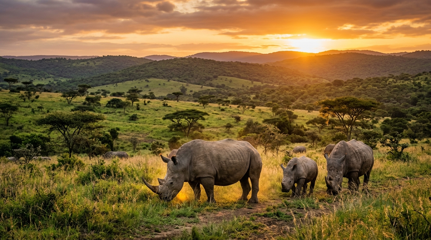
Eastern Black Rhino
Protected in the heavily fortified Ngulia Rhino Sanctuary in Tsavo West, which has nurtured the population from the brink of extinction.
Migration Corridors & Greater Conservancies
The future of Tsavo depends on securing connectivity beyond national park borders. Through partnerships with community conservancies like LUMO, Taita Taveta Wildlife Conservancies Association (TTWCA), and the Kasigau REDD+ corridor, over 1.2 million acres of community land now serve as safe buffer zones connecting Tsavo East, Tsavo West, and the Mkomazi National Park in Tanzania.